Don't leave your project to chance. Whether you need a boundary demarcation, JDA approval, or a solar plant layout, tell us your requirements and we will provide a custom estimate.
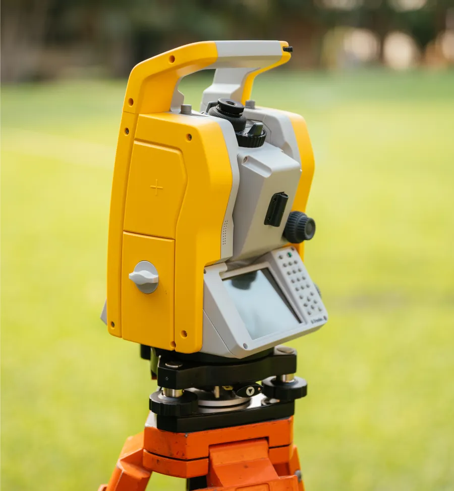
We deliver qualitative and quick land surveying solutions across Rajasthan. Using advanced Pentax Total Stations and the latest AutoCAD technology, we ensure millimeter-level accuracy for infrastructure, boundary, and topographic projects.
Utilizing high-speed DGPS and Pentax instruments for faster, more efficient data collection and topographic mapping.
Proven Expertise in Civil & Land Surveying | We deliver accurate insights for complex infrastructure needs.
Precise demarcation for residential plots and roads to ensure dispute-free property ownership.
Specialized piling coordinate calculations and layout planning for large-scale solar plants.
Detailed elevation mapping for drainage systems and land grading analysis.
Expert guidance on government regulations and residential scheme mapping approvals.
Surveying Excellence by the Numbers
Since 2010, our commitment to precision and speed has helped build stronger infrastructure across Rajasthan.
0
Years of Experience
0
Projects Completed
0
JDA Compliance Rate
0
Technical Support
Building Trust Through Precision Since 2010
Founded to provide accurate land insights, SS SURVEY POINT has evolved into Jodhpur’s most trusted surveying firm. We combine deep local knowledge of Rajasthan’s geography with advanced Pentax & DGPS technology to deliver results that engineers and developers rely on.
Using licensed AutoCAD & RTK DGPS for faster, error-free mapping.
We are dedicated to providing the most accurate land surveying services in Rajasthan. By integrating advanced Pentax Total Stations and RTK DGPS technology, we ensure that every boundary, contour, and solar layout is mapped with absolute precision and delivered faster than the competition.
0
Rapid data collection and processing using advanced RTK DGPS technology compared to traditional methods.
0
Ensuring all maps and layouts meet strict JDA regulations and government standards for immediate approval.
Delivering 100% accurate boundaries and topographic data for seamless project execution.
Empowering Your Infrastructure With Expert Surveying
4.9/5
JDA Licensed & Government Approved
Advanced Pentax Total Station & DGPS Tech
Millimeter-Level Accuracy for All Maps
We provide a comprehensive suite of surveying services designed to streamline construction, ensure legal compliance, and optimize land usage. From residential plot demarcation to large-scale solar power plant layouts, we cover it all.
Our team combines practical field expertise with digital precision (AutoCAD) to deliver fast, qualitative results that architects, engineers, and developers rely on for successful project execution.
Unlock the full potential of your project with our expert, reliable, and JDA-compliant surveying services.
Total Station Surveying
Precision topographic and boundary analysis using the latest Pentax & DGPS technology.
JDA & Scheme Approvals
Navigating government regulations with expert scheme mapping to ensure hassle-free approvals.
Solar & Civil Layouts
Specialized coordinate calculation and piling demarcation for solar plants and infrastructure.
Ready to Start Your Survey Project?
500+ Projects Delivered
Don’t let regulatory hurdles or inaccurate maps slow you down. Whether you need JDA scheme approval or a solar plant layout, our team is ready to help.
Powering Rajasthan’s Growth With Precision Solar & Infrastructure Surveys